A Dublin based architectural consultancy is using data from aerial survey and mapping company Bluesky International to ensure the planning process is conducted as efficiently and smoothly as possible for its clients, even when the build locations are in areas of environmental importance such as UNESCO sites.
Dublin Design Studio is an award-winning architecture and design firm specialising in high end, bespoke dwelling projects in Ireland. Ensuring their designs respond to and enhance their locations is a must and something that they consider from the outset of any project.
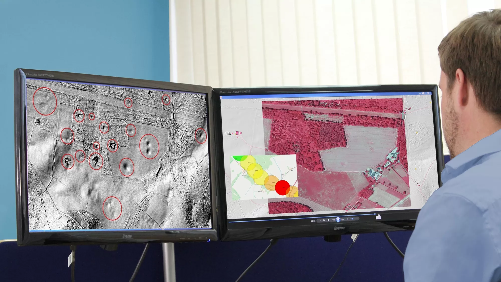
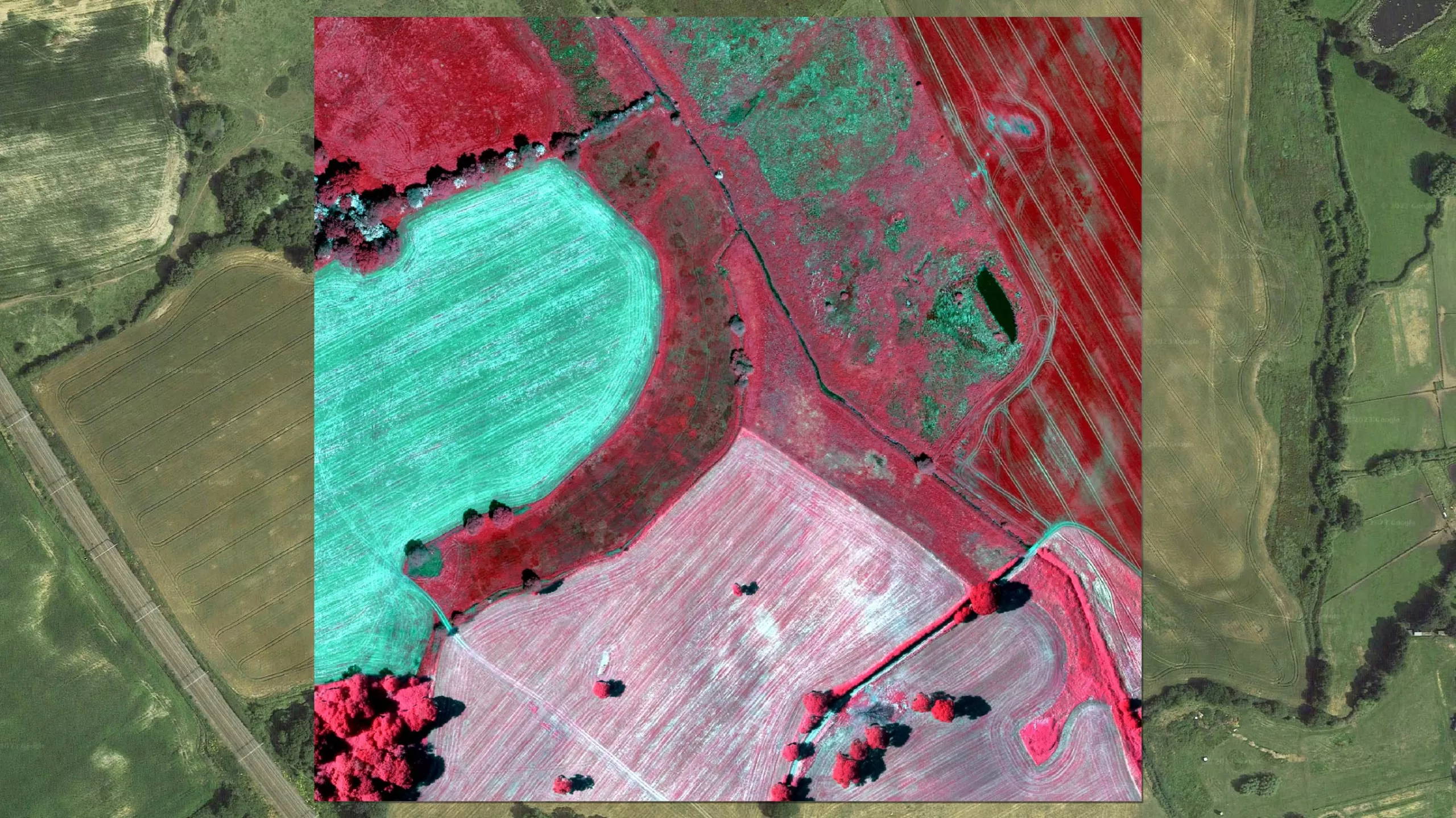
Planning applications are submitted after careful analysis by the Dublin Design Studio team using Bluesky’s LiDAR, Digital Surface Models (DSM) and Aerial Photography. The GIS data is combined with street view data and overlaid with additional imagery captured by drones and site analysis, meaning the team has a holistic view of the area they are working in and can assess any design changes needed at an early stage, a critical part of getting projects through planning seamlessly.
David Craig is one of the founders of the company and he explains: “We use the Bluesky data in the early stages of our projects so we can assess, and therefore demonstrate, to planners the visual effect of our build. We determine the impact from an environmental and infrastructure perspective. The data enables us to showcase how the build or project will appear from a number of different viewpoints, which can often be inaccessible, allowing the planners to accurately understand the impact of the proposals. We work in areas that can be challenging, including within UNESCO sites, so ensuring that we integrate the build sensitively is crucial and this is where the data really supports us.
“We integrate the Bluesky data into our 3D software and we continuously and rapidly update the imagery as we develop our designs. For example, we can see how the visual impact would be affected if a group or line of trees were removed, for example.”
Locations for the properties and extensions are often in beautiful locations or areas of environmental importance and how these builds blend into their surroundings and where they can be viewed from is a key part of what local authority planners will consider at the application phase.
Ralph Coleman, Sales Director at Bluesky, said: “It’s always exciting when our datasets are used in a creative way to solve problems. Aerial imagery and LiDAR offer a different perspective and can provide huge benefits to developers and planners looking to get an early visualisation of their project.”